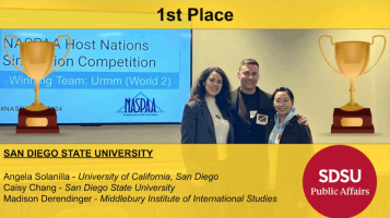
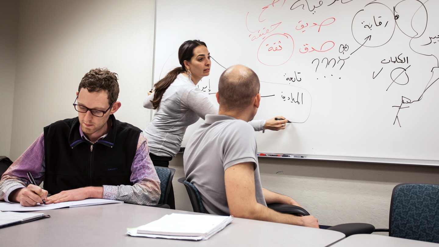
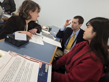
Kristen Tsolis
Adjunct Professor
Kristen Tsolis is a spatial data analyst and Lecturer at the Naval Postgraduate School. She is one of the founding members of the NPS CORE Lab, a lab focused on visual analytic methodologies and data integration. Kristen holds a Masters in International Policy Studies from the Monterey Institute of International Studies. She has served as a Visiting Scholar with the Computer Security Response Team (CERT/CC) and is currently pursuing her PhD in Software Engineering with the goal of developing innovative spatial data analytics capabilities. Kristen currently teaches “Geospatial and Temporal Aspects of Dark Networks” and has also taught “Computer Networking”, “Systems Analysis and Design”, and labs for “Computer Attack and Defense”.
Expertise
Spatial Data, Data Integration, Computer Security Response, Data Analytics
Courses
Courses offered in the past four years.
▲ indicates offered in the current term
▹ indicates offered in the upcoming term[s]
IPOL 8532 - GIS
Aid workers in Haiti are using Geographic Information Systems (GIS) to analyze patterns of cholera outbreak. Scientists are using GIS to assess risk in the face of CBRN threats. Business leaders are using GIS to predict profit patterns and to guide logistics-based decisions.
What exactly is a GIS? A GIS is a system and a science for analyzing spatial data. Using hardware, software, and methods, GIS allows you to free your data from your spreadsheets and to elicit data patterns, relationships, and trends over space and time. This hands-on, project-based class will show you how to use a GIS to create maps and charts that answer questions and solve problems.
Fall 2011 - MIIS, Spring 2012 - MIIS


